

Anatomy of a Crisis: The Escalating Threat of High-Altitude Disasters and Adaptation Measures
Anatomy of a Crisis: The Escalating Threat of High-Altitude Disasters and Adaptation Measures
On the morning of 26 August 2026, a massive bedrock and glacial collapse near 5,200 metres on the northern face of Nepal’s Langtang range sent ice, rock and debris plunging more than 1,200 metres into the Lhende Khola. The impact registered as a magnitude 5.2 seismic event and briefly dammed the river, then released a high-energy surge down the Bhote Koshi and Trishuli river systems. Water levels on the Trishuli reportedly rose by as much as nine metres within 30 minutes, devastating settlements and infrastructure before the floodwaters extended towards Tibet and India.
By early September, Nepal’s confirmed death toll had exceeded 1,250, with several thousand people still missing, including foreign pilgrims, trekkers and migrant workers. Infrastructure losses included major sections of the Kathmandu–Tibet road, bridges, customs facilities and hydropower installations.
For East Africa, this is more than a distant Himalayan warning. The region’s highlands and mountain systems, including Mount Kenya, Mount Kilimanjaro, the Rwenzori Mountains, the Ethiopian Highlands and the East African Rift, are exposed to shifting temperatures, rainfall extremes, landslides, floods and other cascading hazards. Although the physical processes differ from those in the Himalayas, the underlying risks are similar: climate change is interacting with fragile terrain and with expanding settlements and infrastructure, all concentrated in high-risk corridors.
The Nepal disaster illustrates how climate-driven changes can trigger compound events, with landslides, glacial collapse, river blockage and sudden flooding occurring in rapid succession. In East Africa, similar cascading risks can arise when intense rainfall interacts with steep slopes, degraded catchments, unstable soils and settlements along valleys and river systems.
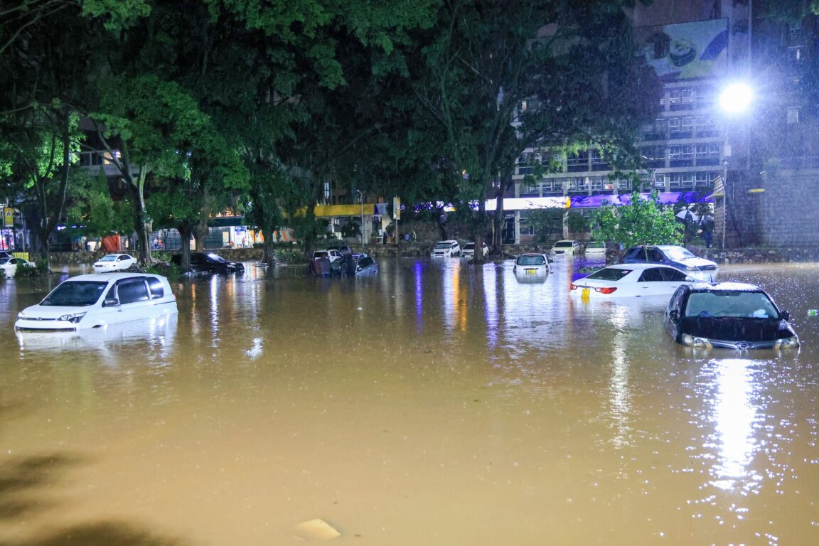
The crisis also exposes weaknesses in disaster preparedness and communication. In high-altitude valleys, warning windows can be measured in seconds or minutes, leaving little time for residents, migrant workers, tourists and pilgrims outside formal networks to reach safety. Early-warning SMS systems are of limited value when messages fail to reach those most at risk or arrive too late. Similar communication gaps have been observed in Kenya’s West Pokot and Baringo counties, where communities exposed to floods, landslides and other rapid-onset hazards have received inadequate or delayed warnings.
Infrastructure choices can further compound the danger. Roads, bridges, dams and hydropower projects built in steep or flood-prone corridors can place critical assets and communities directly in the path of cascading hazards. Across East Africa, development pressure can encourage construction in valleys, on unstable slopes or near river systems, without adequate assessment of future geological, hydrological and climate risks. Once settlements and major infrastructure are established in hazardous locations, relocation becomes politically, socially and financially difficult.
The challenge is therefore not simply how to respond when disasters occur, but where and how development should take place. Hazard mapping, topographic assessment and enforceable setback zones should be fundamental to infrastructure planning. In the most exposed locations, relocation may be safer and more economical than repeatedly rebuilding after disasters.
Social vulnerability determines who bears the greatest cost. Poverty limits households’ ability to relocate, reinforce their homes or recover after disasters. Limited literacy and uneven access to information can reduce the effectiveness of warnings, while dependence on hillside farming, local trade, tourism and transport corridors can leave communities with few alternatives when these systems are disrupted.
These challenges are likely to intensify as climate variability increases. The evolving El Niño–Southern Oscillation cycle and its potential influence on rainfall patterns underscore the need to prepare for a wider range of climate extremes. Forecasts alone cannot protect communities; warnings must reach people in time, be understood, and be accompanied by realistic options for reaching safety.
Adaptation must combine technology with local preparedness. Denser sensor networks, satellite monitoring, improved forecasting and real-time data systems are essential, but they must link to effective response mechanisms. Cross-border data sharing is particularly important in East Africa, where rivers, ecosystems and weather systems cross national boundaries. Communities also need regular evacuation drills, trusted communication channels and multi-platform warning systems, rather than relying on SMS alone.
For East Africa, the lesson from the Himalayas is clear: the region need not wait for a disaster of comparable scale to strengthen resilience. Existing exposure in highland and mountainous areas already demonstrates the consequences of inadequate land-use planning, weak early-warning systems and insufficient investment in preparedness.
Effective adaptation rests on common principles: rigorous hazard mapping to guide development; stronger, multi-channel early-warning systems; resilient infrastructure designed for future rather than historical climate conditions; and social investments that enable vulnerable households to act on warnings.
Ultimately, climate adaptation requires more than technical fixes. It requires investment in education, livelihood diversification, community preparedness and equitable climate financing so poorer households are not left to absorb the highest costs of a warming world. Vulnerability is shaped not only by climate, but by where people live, where infrastructure is built, how information flows and whether communities have the resources to respond.
Without these shifts, East Africa’s highlands and other vulnerable landscapes risk facing increasingly severe cascading disasters. The lesson from the Himalaya is therefore not simply a warning about mountains. It is a warning about development itself: as the climate changes, building for yesterday’s risks is no longer enough.